How Does U.S. Sugar Use Drone Agriculture to Improve Land Prep and Yields?
Over the past century at U.S. Sugar, we’ve been focused on innovation—modernizing our sustainable farming technology to produce high-quality sugarcane while protecting the soil, conserving water and achieving long-term success.
We’ve learned that a fresh perspective is key to staying ahead and achieving a great harvest. Today, that fresh perspective is coming from above. Through drone agriculture and digital land leveling, we’re working to optimize land preparation—one of the most important foundations for strong, sustainable yields.
At its core, our approach uses drone imagery and 3-D modeling to better understand our fields, guide GPS-enabled tractors and reshape terrain. This improves water flow, reduces erosion and supports healthier, more sustainable crop growth.
Drone Agriculture: Mapping the Land in 3-D for More Sustainable Farming
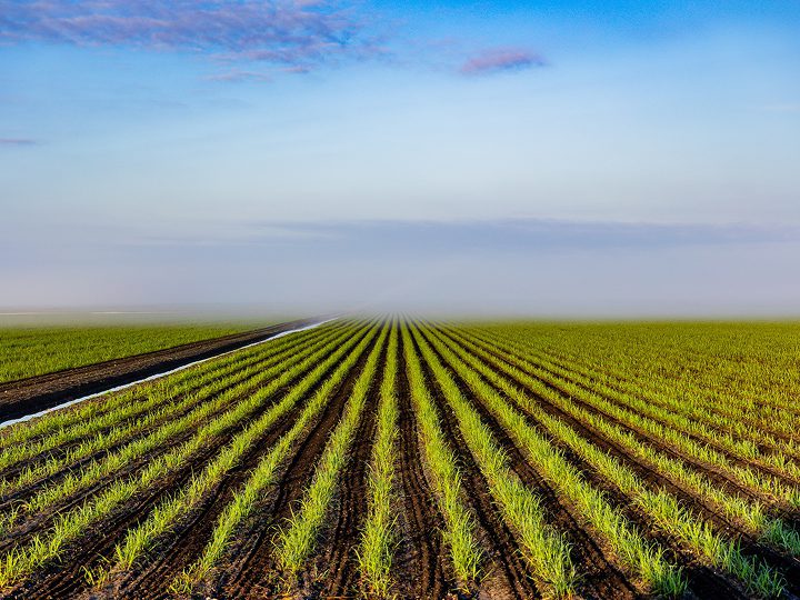
Understanding the land is the first step in optimizing it. Drones give us the chance to see every inch of our farmland from a new angle, accurately and safely.
How do drones help U.S. Sugar move quicker and more efficiently? Let’s take a closer look:
- We fly drones above our fields to capture thousands of high-resolution images.
- These images are transformed into three-dimensional “point clouds”—digital models that show every contour of a field’s surface.
- We use the point clouds to gain a deeper understanding of our fields, including topography down to the centimeter.
- The point cloud data is imported into T3RRA Design software and used by our engineers to create custom grading plans.
- With each custom grading plan, we are able to reshape fields to improve water flow, cut back on excess pooling and promote more uniform crop growth.
What Are the Benefits of Digital Land Leveling and Smart Grading?
After plans are created by our engineers, they are wirelessly transferred to our GPS-enabled tractors in the field.
There, the data is used to automatically adjust blades and elevation, following the digital blueprint to reshape terrain with pinpoint accuracy. This “smart grading” helps rainwater stay where it’s needed, reducing waste, runoff and erosion.
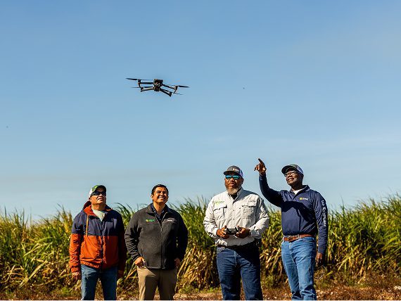
How Technology and Skilled Teams Bring Sustainable Farming to Life
Drones over our fields, GPS technology in our tractors and professional software like T3RRA are all powered by our skilled team. We merge advanced technology with hands-on expertise to bring these tools to life.
It’s a seamless collaboration between equipment, third-party systems and dedicated operators who have a deep understanding of the fields. This blend of data, science and hard work is reshaping what’s possible, from the sky to the soil.
To learn more about U.S. Sugar’s latest innovations, follow us on LinkedIn.